
Valdastillas topographic map
Interactive map
Click on the map to display elevation.
About this map
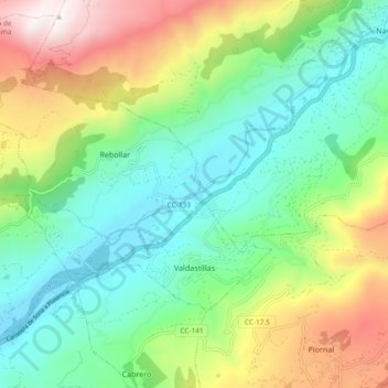
Name: Valdastillas topographic map, elevation, terrain.
Location: Valdastillas, Valle del Jerte, Cáceres, Extremadura, España (40.12476 -5.95409 40.16819 -5.86047)
Average elevation: 2,566 ft
Minimum elevation: 1,260 ft
Maximum elevation: 5,200 ft