
Al Wusta topographic map
Interactive map
Click on the map to display elevation.
About this map
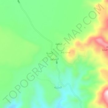
Name: Al Wusta topographic map, elevation, terrain.
Location: Al Wusta, Bani Mattar District, Sana'a Governorate, Yemen (15.21317 44.03770 15.25317 44.07770)
Average elevation: 9,101 ft
Minimum elevation: 8,550 ft
Maximum elevation: 10,138 ft