
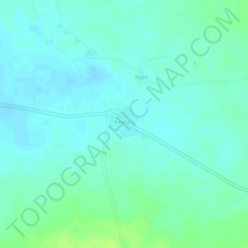
Kéréla topographic map
Interactive map
Click on the map to display elevation.
About this map
Name: Kéréla topographic map, elevation, terrain.
Location: Kéréla, Dioïla Cercle, Koulikoro, Mali (12.73979 -6.83998 12.74333 -6.83534)
Average elevation: 1,063 ft
Minimum elevation: 1,043 ft
Maximum elevation: 1,096 ft