
Chidlow topographic map
Interactive map
Click on the map to display elevation.
About this map
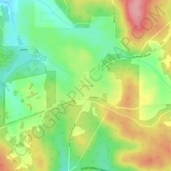
Name: Chidlow topographic map, elevation, terrain.
Location: Chidlow, Western Australia, Australia (-31.87960 116.24874 -31.83960 116.28874)
Average elevation: 968 ft
Minimum elevation: 794 ft
Maximum elevation: 1,181 ft