
Frankfurt (Oder) topographic map
Interactive map
Click on the map to display elevation.
About this map
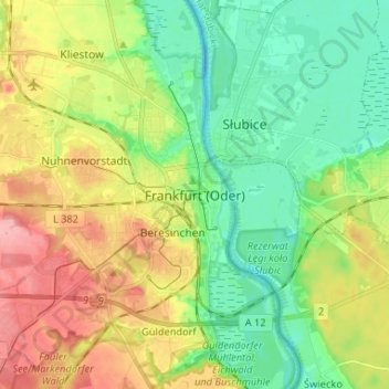
Name: Frankfurt (Oder) topographic map, elevation, terrain.
Location: Frankfurt (Oder), Brandebourg, 15230, Allemagne (52.30123 14.50945 52.38123 14.58945)
Average elevation: 161 ft
Minimum elevation: 30 ft
Maximum elevation: 361 ft