
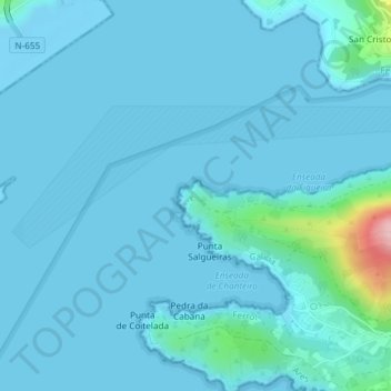
O Segaño topographic map
Interactive map
Click on the map to display elevation.
About this map
Name: O Segaño topographic map, elevation, terrain.
Location: O Segaño, Ares, Ferrol (Comarca), Teo, Galicia, 15625, España (43.44372 -8.32128 43.46372 -8.30128)
Average elevation: 49 ft
Minimum elevation: -26 ft
Maximum elevation: 663 ft
Other topographic maps
Click on a map to view its topography, its elevation and its terrain.