
Menaceur topographic map
Interactive map
Click on the map to display elevation.
About this map
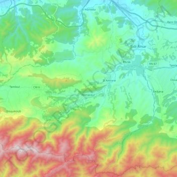
Name: Menaceur topographic map, elevation, terrain.
Location: Menaceur, Daïra Sidi Amar, Tipaza, Algérie (36.41466 2.10605 36.58551 2.32614)
Average elevation: 1,371 ft
Minimum elevation: 23 ft
Maximum elevation: 4,580 ft