
Ugchelen topographic map
Interactive map
Click on the map to display elevation.
About this map
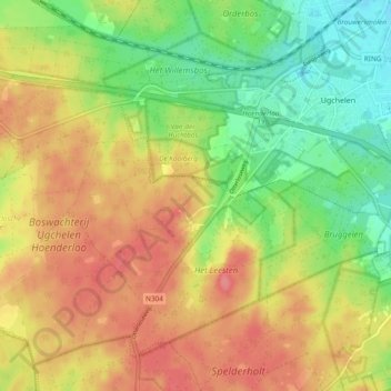
Name: Ugchelen topographic map, elevation, terrain.
Location: Ugchelen, Appeldorn, Geldern, Niederlande (52.14522 5.85955 52.19545 5.95385)
Average elevation: 200 ft
Minimum elevation: 72 ft
Maximum elevation: 318 ft