
Thurm topographic map
Interactive map
Click on the map to display elevation.
About this map
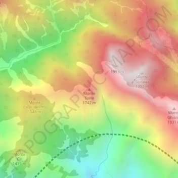
Name: Thurm topographic map, elevation, terrain.
Location: Thurm, Pontafel, Udine, Friaul-Julisch Venetien, Italien (46.53034 13.35247 46.53044 13.35257)
Average elevation: 4,593 ft
Minimum elevation: 2,513 ft
Maximum elevation: 6,516 ft
Other topographic maps
Click on a map to view its topography, its elevation and its terrain.
Nassfeld
Italien > Friaul-Julisch Venetien > Udine > Pontafel
Nassfeld, Pontafel, Udine, Friaul-Julisch Venetien, Italien
Average elevation: 5,157 ft