
Khemisti topographic map
Interactive map
Click on the map to display elevation.
About this map
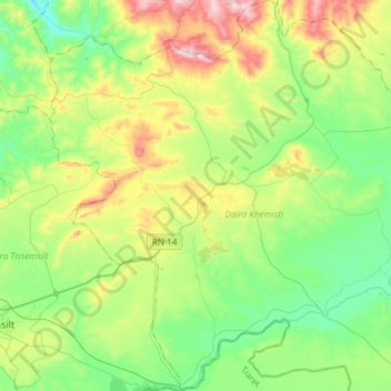
Name: Khemisti topographic map, elevation, terrain.
Location: Khemisti, Khemisti District, Tissemsilt, 38100, Algeria (35.56332 1.85465 35.80563 2.03327)
Average elevation: 2,966 ft
Minimum elevation: 2,267 ft
Maximum elevation: 4,521 ft