
Bass Island topographic map
Interactive map
Click on the map to display elevation.
About this map
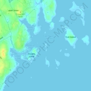
Name: Bass Island topographic map, elevation, terrain.
Location: Bass Island, Kennebunkport, York County, Maine, USA (43.36029 -70.43404 43.36152 -70.43323)
Average elevation: 10 ft
Minimum elevation: -7 ft
Maximum elevation: 79 ft