
Château de Salm topographic map
Interactive map
Click on the map to display elevation.
About this map
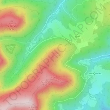
Name: Château de Salm topographic map, elevation, terrain.
Average elevation: 2,136 ft
Minimum elevation: 1,549 ft
Maximum elevation: 2,923 ft
Other topographic maps
Click on a map to view its topography, its elevation and its terrain.
Étang du Coucou
France > Grand Est > La Broque
Étang du Coucou, Rue du Haut Fourneau, La Broque, Molsheim, Bas-Rhin, Grand Est, France métropolitaine, France
Average elevation: 2,303 ft