
Monte Catria topographic map
Interactive map
Click on the map to display elevation.
About this map
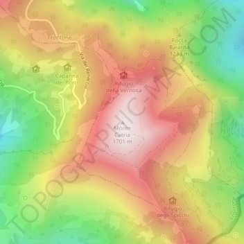
Name: Monte Catria topographic map, elevation, terrain.
Location: Monte Catria, Frontone, Pesaro e Urbino, Marche, Italia (43.46101 12.70422 43.46111 12.70432)
Average elevation: 4,131 ft
Minimum elevation: 2,497 ft
Maximum elevation: 5,574 ft