
Sarrebruck topographic map
Interactive map
Click on the map to display elevation.
About this map
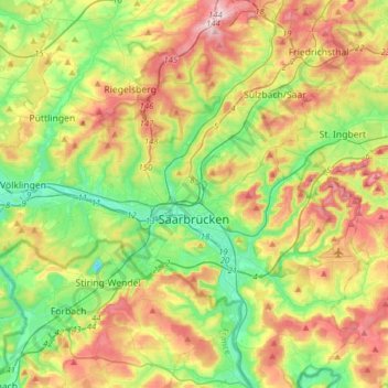
Name: Sarrebruck topographic map, elevation, terrain.
Location: Sarrebruck, Regionalverband Saarbrücken, Sarre, Allemagne (49.17219 6.82764 49.32207 7.13802)
Average elevation: 909 ft
Minimum elevation: 551 ft
Maximum elevation: 1,444 ft