
Condega topographic map
Interactive map
Click on the map to display elevation.
About this map
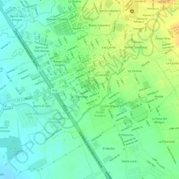
Name: Condega topographic map, elevation, terrain.
Average elevation: 459 ft
Minimum elevation: 413 ft
Maximum elevation: 518 ft
Other topographic maps
Click on a map to view its topography, its elevation and its terrain.
Río Liberia
Costa Rica > Provincia Guanacaste > Liberia
Río Liberia, Liberia, Cantón Liberia, Provincia Guanacaste, 50101, Costa Rica
Average elevation: 463 ft