
Trenta topographic map
Interactive map
Click on the map to display elevation.
About this map
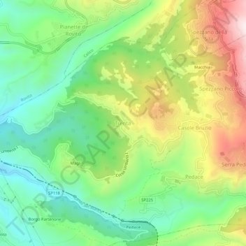
Name: Trenta topographic map, elevation, terrain.
Location: Trenta, Cosenza, Kalabrien, 87050, Italien (39.26509 16.30140 39.30509 16.34140)
Average elevation: 1,837 ft
Minimum elevation: 1,033 ft
Maximum elevation: 3,127 ft