
Vélingara topographic map
Interactive map
Click on the map to display elevation.
About this map
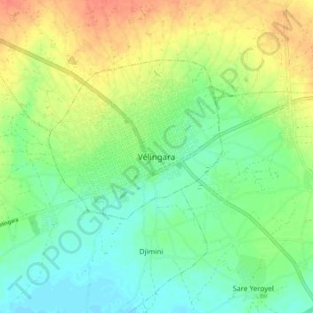
Name: Vélingara topographic map, elevation, terrain.
Location: Vélingara, Département de Vélingara, Kolda Region, Senegal (13.10724 -14.14758 13.18724 -14.06758)
Average elevation: 154 ft
Minimum elevation: 95 ft
Maximum elevation: 236 ft