
Sestri Levante topographic map
Interactive map
Click on the map to display elevation.
About this map
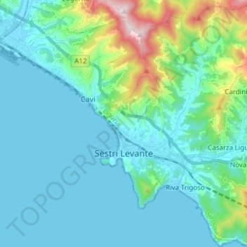
Name: Sestri Levante topographic map, elevation, terrain.
Location: Sestri Levante, Genoa, Liguria, Italy (44.23804 9.38429 44.32629 9.47156)
Average elevation: 374 ft
Minimum elevation: -10 ft
Maximum elevation: 2,251 ft