
Pardos topographic map
Interactive map
Click on the map to display elevation.
About this map
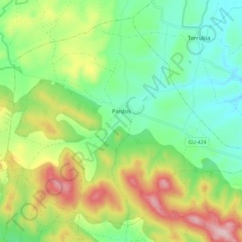
Name: Pardos topographic map, elevation, terrain.
Location: Pardos, Guadalajara, Castela-Mancha, Espanha (40.91893 -1.96373 40.97087 -1.88391)
Average elevation: 4,049 ft
Minimum elevation: 3,727 ft
Maximum elevation: 4,613 ft