
South Shore Park topographic map
Interactive map
Click on the map to display elevation.
About this map
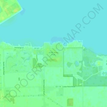
Name: South Shore Park topographic map, elevation, terrain.
Location: South Shore Park, Lucas County, Ohio, 43618, USA (41.66699 -83.42493 41.70699 -83.38493)
Average elevation: 577 ft
Minimum elevation: 558 ft
Maximum elevation: 614 ft