
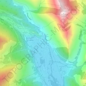
Esterri d'Àneu topographic map
Interactive map
Click on the map to display elevation.
About this map
Name: Esterri d'Àneu topographic map, elevation, terrain.
Location: Esterri d'Àneu, Pallars Sobirá, Lérida, Cataluña, 25580, España (42.60747 1.10288 42.64747 1.14288)
Average elevation: 4,039 ft
Minimum elevation: 3,074 ft
Maximum elevation: 6,217 ft