
Inverness topographic map
Interactive map
Click on the map to display elevation.
About this map
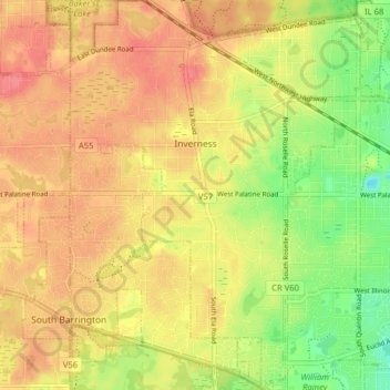
Name: Inverness topographic map, elevation, terrain.
Location: Inverness, Cook County, Illinois, USA (42.08086 -88.14110 42.13964 -88.06785)
Average elevation: 827 ft
Minimum elevation: 702 ft
Maximum elevation: 912 ft