
Mount Banahaw and San Cristobal Protected Landscape topographic map
Interactive map
Click on the map to display elevation.
About this map
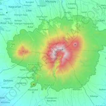
Name: Mount Banahaw and San Cristobal Protected Landscape topographic map, elevation, terrain.
Average elevation: 1,942 ft
Minimum elevation: 335 ft
Maximum elevation: 7,028 ft