
Dombawela topographic map
Interactive map
Click on the map to display elevation.
About this map
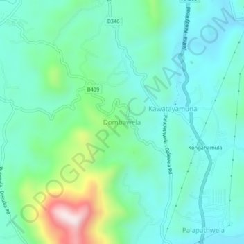
Name: Dombawela topographic map, elevation, terrain.
Location: Dombawela, Matale District, Central Province, 21070, Sri Lanka (7.53468 80.59401 7.57468 80.63401)
Average elevation: 1,480 ft
Minimum elevation: 1,053 ft
Maximum elevation: 2,966 ft