
Pineville topographic map
Interactive map
Click on the map to display elevation.
About this map
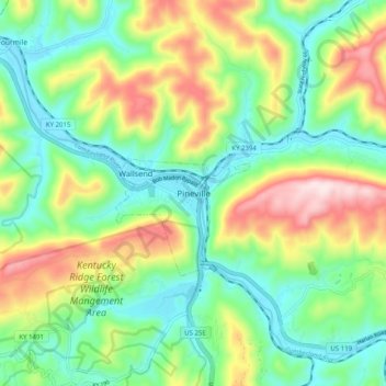
Name: Pineville topographic map, elevation, terrain.
Location: Pineville, Bell County, Kentucky, 40977, United States (36.72203 -83.73492 36.80203 -83.65492)
Average elevation: 1,486 ft
Minimum elevation: 978 ft
Maximum elevation: 2,444 ft