
Potrerito topographic map
Interactive map
Click on the map to display elevation.
About this map
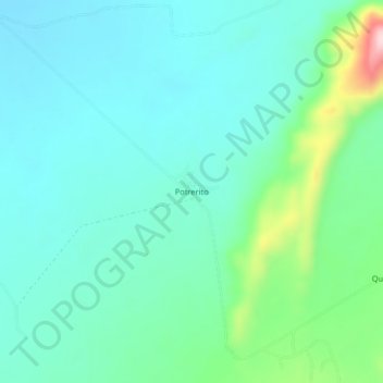
Name: Potrerito topographic map, elevation, terrain.
Location: Potrerito, Fonseca, La Guajira, Colombia (10.83507 -72.79759 10.87507 -72.75759)
Average elevation: 745 ft
Minimum elevation: 554 ft
Maximum elevation: 1,476 ft