
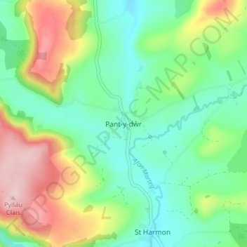
Pant-y-dŵr topographic map
Interactive map
Click on the map to display elevation.
About this map
Name: Pant-y-dŵr topographic map, elevation, terrain.
Location: Pant-y-dŵr, Powys, Wales, LD6 5LN, United Kingdom (52.34243 -3.51486 52.38243 -3.47486)
Average elevation: 1,112 ft
Minimum elevation: 863 ft
Maximum elevation: 1,581 ft