
Eustace topographic map
Interactive map
Click on the map to display elevation.
About this map
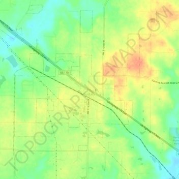
Name: Eustace topographic map, elevation, terrain.
Location: Eustace, Henderson County, Texas, United States (32.28498 -96.04250 32.33177 -95.98394)
Average elevation: 410 ft
Minimum elevation: 338 ft
Maximum elevation: 479 ft