
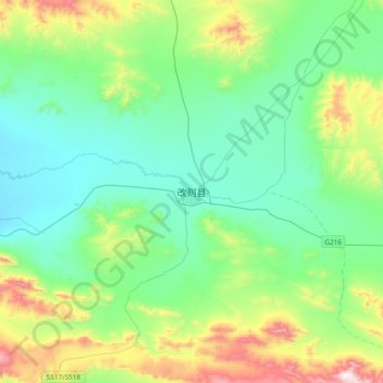
改则县 topographic map
Interactive map
Click on the map to display elevation.
About this map
Name: 改则县 topographic map, elevation, terrain.
Location: 改则县, 改则镇, 改则县, 阿里地区, 西藏自治区, 中国 (32.14510 83.89991 32.46510 84.21991)
Average elevation: 15,079 ft
Minimum elevation: 14,321 ft
Maximum elevation: 17,493 ft