
Masirah topographic map
Interactive map
Click on the map to display elevation.
About this map
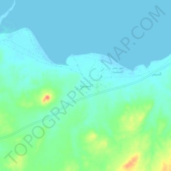
Name: Masirah topographic map, elevation, terrain.
Location: Masirah, Ash Sharqiyah, Oman (20.39629 58.71193 20.43629 58.75193)
Average elevation: 36 ft
Minimum elevation: -3 ft
Maximum elevation: 167 ft