
Lochristi topographic map
Interactive map
Click on the map to display elevation.
About this map
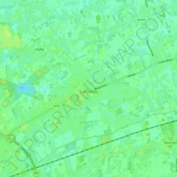
Name: Lochristi topographic map, elevation, terrain.
Location: Lochristi, Gand, Flandre orientale, Flandre, 9080, Belgique (51.07427 3.78661 51.12152 3.87893)
Average elevation: 20 ft
Minimum elevation: 0 ft
Maximum elevation: 36 ft