
Shastri Nagar topographic map
Interactive map
Click on the map to display elevation.
About this map
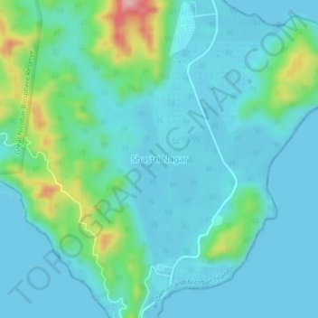
Name: Shastri Nagar topographic map, elevation, terrain.
Location: Shastri Nagar, Andaman and Nicobar Islands, India (6.80130 93.86698 6.84130 93.90698)
Average elevation: 121 ft
Minimum elevation: -7 ft
Maximum elevation: 673 ft