
Hever topographic map
Interactive map
Click on the map to display elevation.
About this map
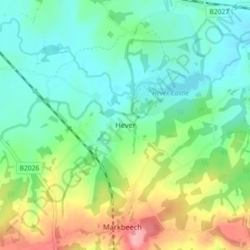
Name: Hever topographic map, elevation, terrain.
Location: Hever, Kent, South East, Engeland, TN8 7NH, VK (51.16190 0.08913 51.20190 0.12913)
Average elevation: 223 ft
Minimum elevation: 102 ft
Maximum elevation: 489 ft