
Fontaine-Valmont topographic map
Interactive map
Click on the map to display elevation.
About this map
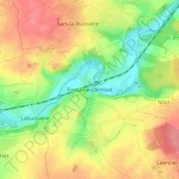
Name: Fontaine-Valmont topographic map, elevation, terrain.
Location: Fontaine-Valmont, Thuin, Hainaut, Wallonia, 6567, Belgium (50.30047 4.19397 50.34047 4.23397)
Average elevation: 505 ft
Minimum elevation: 374 ft
Maximum elevation: 627 ft