
Rubio topographic map
Interactive map
Click on the map to display elevation.
About this map
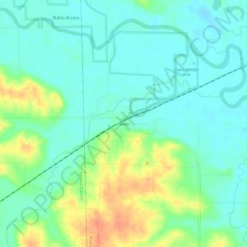
Name: Rubio topographic map, elevation, terrain.
Location: Rubio, Washington County, Iowa, USA (41.20113 -91.95767 41.24113 -91.91767)
Average elevation: 656 ft
Minimum elevation: 610 ft
Maximum elevation: 751 ft