
Vlijtingen topographic map
Interactive map
Click on the map to display elevation.
About this map
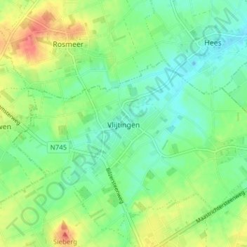
Name: Vlijtingen topographic map, elevation, terrain.
Location: Vlijtingen, Tongeren, Limburg, Vlaanderen, België (50.81291 5.56959 50.85291 5.60959)
Average elevation: 308 ft
Minimum elevation: 243 ft
Maximum elevation: 420 ft