
Redington topographic map
Interactive map
Click on the map to display elevation.
About this map
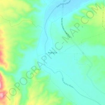
Name: Redington topographic map, elevation, terrain.
Location: Redington, Pima County, Arizona, USA (32.40757 -110.51314 32.44757 -110.47314)
Average elevation: 2,976 ft
Minimum elevation: 2,815 ft
Maximum elevation: 3,409 ft