
协力 topographic map
Interactive map
Click on the map to display elevation.
About this map
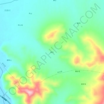
Name: 协力 topographic map, elevation, terrain.
Location: 协力, 新站镇, 蛟河市, 吉林市, 吉林省, 中国 (43.82803 127.34135 43.86803 127.38135)
Average elevation: 1,175 ft
Minimum elevation: 938 ft
Maximum elevation: 1,719 ft