
Fells topographic map
Interactive map
Click on the map to display elevation.
About this map
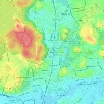
Name: Fells topographic map, elevation, terrain.
Location: Fells, Middlesex County, Massachusetts, 02176-6104, USA (42.42176 -71.09116 42.46176 -71.05116)
Average elevation: 105 ft
Minimum elevation: 7 ft
Maximum elevation: 279 ft