Geolocate

Quitaque topographic map

Click on the map to display elevation.

About this map

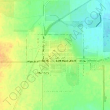
Name: Quitaque topographic map, elevation, terrain.

Location: Quitaque, Briscoe County, Texas, 79255, United States (34.36238 -101.06488 34.37274 -101.04205)

Average elevation: 2,559 ft

Minimum elevation: 2,507 ft

Maximum elevation: 2,608 ft

Briscoe County trails, hiking, mountain biking, running and outdoor activities

Other topographic maps

Click on a map to view its topography, its elevation and its terrain.

Silverton

United States > Texas > Briscoe County

Average elevation: 3,274 ft

Gear up for your next adventure:

💧Water Filtration Bottles - Safely drink from streams and lakes while exploring
🧭Orienteering Set - Complete compass and map reading kit
🥾Women's Hiking Boots - Top-rated trail boots with ankle support and superior grip
🛡️Bear Spray Outdoor - Protection in bear country hikes
🍳Camping Cook Set - Complete cookware for outdoor meals

As an Amazon Associate, this site earns from qualifying purchases at no extra cost to you.