
Glynde topographic map
Interactive map
Click on the map to display elevation.
About this map
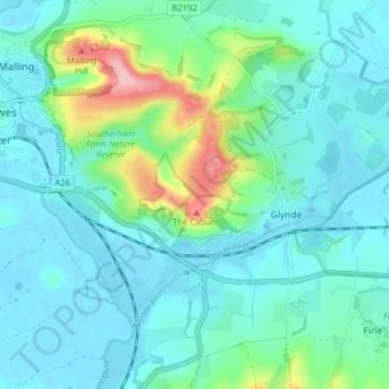
Name: Glynde topographic map, elevation, terrain.
Location: Glynde, Lewes, East Sussex, England, Vereinigtes Königreich (50.84693 0.02025 50.88066 0.09733)
Average elevation: 102 ft
Minimum elevation: -7 ft
Maximum elevation: 538 ft