
Differdange topographic map
Interactive map
Click on the map to display elevation.
About this map
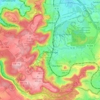
Name: Differdange topographic map, elevation, terrain.
Location: Differdange, Canton Esch-sur-Alzette, Luxembourg (49.49653 5.83412 49.54746 5.91632)
Average elevation: 1,155 ft
Minimum elevation: 909 ft
Maximum elevation: 1,401 ft