
Corgas topographic map
Interactive map
Click on the map to display elevation.
About this map
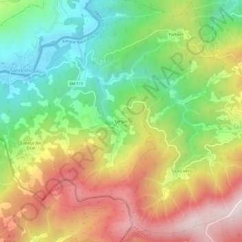
Name: Corgas topographic map, elevation, terrain.
Location: Corgas, Sandomil, Seia, Guarda, Portugal (40.32902 -7.78061 40.36902 -7.74061)
Average elevation: 1,962 ft
Minimum elevation: 906 ft
Maximum elevation: 3,251 ft
Other topographic maps
Click on a map to view its topography, its elevation and its terrain.