
Hørning topographic map
Interactive map
Click on the map to display elevation.
About this map
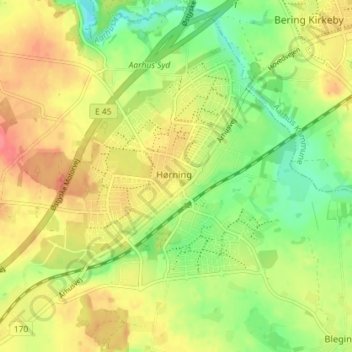
Name: Hørning topographic map, elevation, terrain.
Location: Hørning, Skanderborg Municipality, 8362, Denmark (56.06567 10.01612 56.10567 10.05612)
Average elevation: 203 ft
Minimum elevation: 102 ft
Maximum elevation: 299 ft