
Spoordonk topographic map
Interactive map
Click on the map to display elevation.
About this map
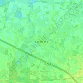
Name: Spoordonk topographic map, elevation, terrain.
Location: Spoordonk, Oirschot, Noord-Brabant, Nederland, 5688, Nederland (51.49761 5.25269 51.53761 5.29269)
Average elevation: 43 ft
Minimum elevation: 20 ft
Maximum elevation: 62 ft