
Ramhurst topographic map
Interactive map
Click on the map to display elevation.
About this map
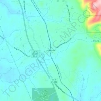
Name: Ramhurst topographic map, elevation, terrain.
Location: Ramhurst, Murray County, Georgia, United States of America (34.67814 -84.75077 34.71814 -84.71077)
Average elevation: 804 ft
Minimum elevation: 696 ft
Maximum elevation: 1,388 ft