
Danoa topographic map
Interactive map
Click on the map to display elevation.
About this map
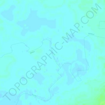
Name: Danoa topographic map, elevation, terrain.
Location: Danoa, Guéra, Tchad (10.68470 18.24130 10.70470 18.26130)
Average elevation: 1,250 ft
Minimum elevation: 1,240 ft
Maximum elevation: 1,273 ft
Other topographic maps
Click on a map to view its topography, its elevation and its terrain.
Dabakay Zarga
Tchad > Guéra > Melfi > Dabakay Zarga
Dabakay Zarga, Melfi, Guéra, Tchad
Average elevation: 1,329 ft