
Kwassin Lake topographic map
Interactive map
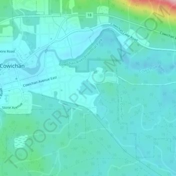
Click on the map to display elevation.
About this map
Name: Kwassin Lake topographic map, elevation, terrain.
Average elevation: 620 ft
Minimum elevation: 515 ft
Maximum elevation: 1,253 ft
Other topographic maps
Click on a map to view its topography, its elevation and its terrain.
Lake Cowichan
Canada > Colombie-Britannique > Lake Cowichan
Lake Cowichan, Cowichan Valley Regional District, Colombie-Britannique, V0R 2G0, Canada
Average elevation: 1,240 ft