
Welldorf topographic map
Interactive map
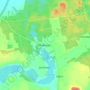
Click on the map to display elevation.
About this map
Name: Welldorf topographic map, elevation, terrain.
Average elevation: 289 ft
Minimum elevation: 233 ft
Maximum elevation: 381 ft
Im Westen liegt Lich-Steinstraß, im Norden Spiel (Gemeinde Titz), im Osten Güsten und im Süden der Tagebau Hambach mit der Sophienhöhe. Die Bebauung von Güsten und Welldorf geht fast nahtlos ineinander über.