
الزرقاء topographic map
Interactive map
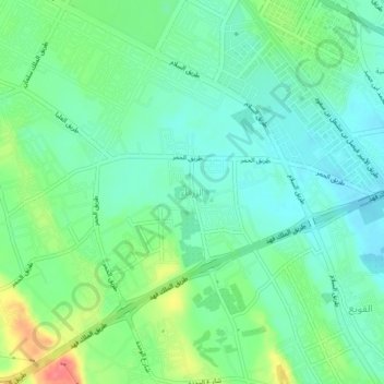
Click on the map to display elevation.
About this map
Name: الزرقاء topographic map, elevation, terrain.
Location: الزرقاء, Buraydah, Al-Qassim Region, 87777, Saudi Arabia (26.32400 43.90220 26.36400 43.94220)
Average elevation: 2,064 ft
Minimum elevation: 1,991 ft
Maximum elevation: 2,228 ft